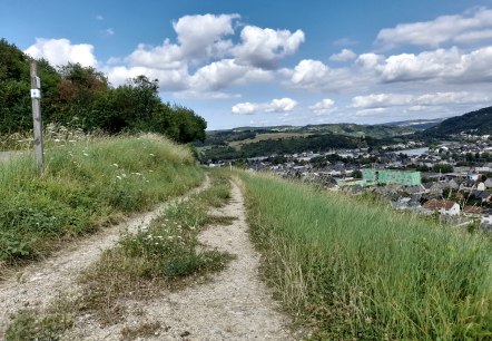
Wandelpad Wasserbillig (Autopédestre)
afstand: 7,9 km
route: station Wasserbillig tot station Wasserbillig
moeilijkheidsgraad: gemiddeld
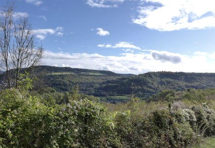
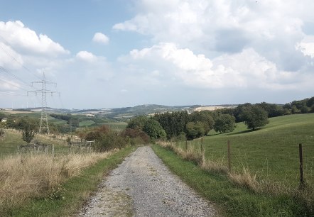
Wandelroute Wasserbillig E
afstand: 10,7 km
route: Esplanade de la Moselle ( Spatz) tot Esplanade de la Moselle ( Spatz)
moeilijkheidsgraad: gemiddeld
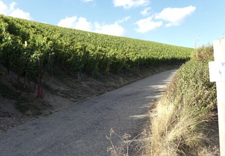
Wijninformatieweg Mertert Wasserbillig
afstand: 4,3 km
route: Wasserbillig Gemeindehaus oder Mertert Kirche tot Wasserbillig Gemeindehaus oder Mertert Kirche
moeilijkheidsgraad: gemakkelijk
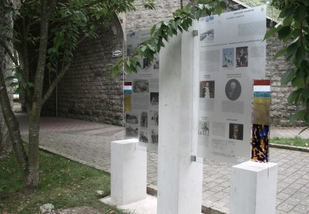
Cultuurpad Wasserbillig
afstand: 9,9 km
route: Wasserbillig tot Wasserbillig
moeilijkheidsgraad: gemiddeld
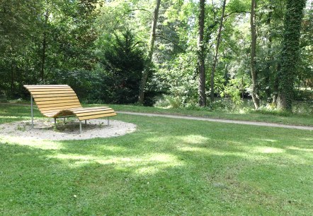
Cultuurpad Mertert
afstand: 9,5 km
route: Kerk Mertert tot Kerk Mertert
moeilijkheidsgraad: gemiddeld
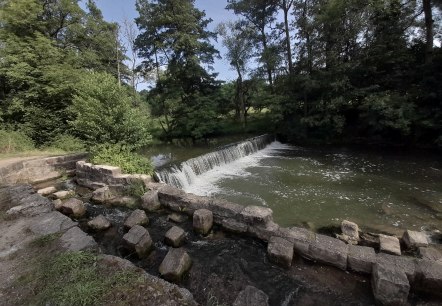
Wandelpad Mertert 1
afstand: 9,7 km
route: Park and Ride Mertert tot Park and Ride Mertert
moeilijkheidsgraad: gemiddeld
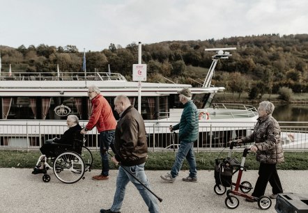
Comfort-wandelpad Grevenmacher
Grevenmacher
Welkom op de comfortwandelroute Grevenmacher. Geniet van een ontspannen wandeling langs de Moezelpromenade en ontdek de charmante hoekjes van de oude vestingstad.
meer info
Wandelpad Grevenmacher (autopédestre)
afstand: 8 km
route: Parkeren bij het dok Grevenmacher tot Parkeren bij het dok Grevenmacher
moeilijkheidsgraad: gemiddeld
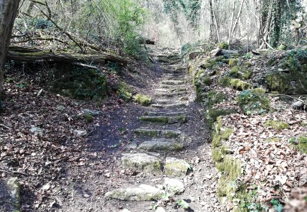
Wandelroute Moersdorf (autopédestre)
afstand: 6,8 km
route: Parkplatz bei der Kirche Moersdorf tot Parkplatz bei der Kirche Moersdorf
moeilijkheidsgraad: gemiddeld

