Filtres actifs
- Classer par "Meilleurs résultats"

Musée Régional Rhénan de Trèves
Trier
Le Rheinisches Landesmuseum Trier est l'un des musées archéologiques les plus importants de l'Antiquité romaine en Europe.
Informations supplémentaires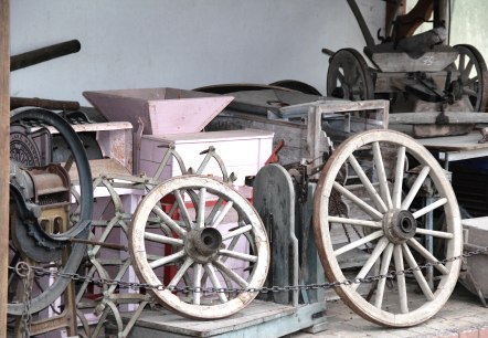
Musée Zemmer
Zemmer
Ce musée localisé dans une vieille ferme restaurée au coeur du village vous invite avec toute une série de curiosités à un voyage à travers le temps et les différentes époques de Zemmer. Nous vous recommandons d´y appeler auparavant pour savoir quelles sont les heures d´ouverture…
Informations supplémentaires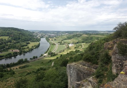
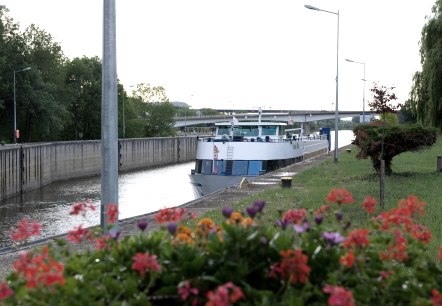
Navitours
Remich
Nos promenades panoramiques vous emmènent quotidiennement de Remich, la perle de la Moselle, à Schengen au pays des trois frontières, France-Allemagne-Luxembourg, là où l'accord historique de Schengen a été signé le 14 juin '85 à bord d'un bateau…
Informations supplémentaires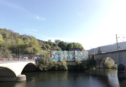

Office du tourisme germano-luxembourgeois
Langsur
Le personnel de notre information touristique aime bien vous aider si vous avez des questions ou des souhaits.
Les Horaires
01 Novembre - Mars:
Lu-Ve: 11. 00 – 16. 00 heures
Sa/Di/Jours feriés: fermé
1 avril - 31 octobre:
Lu-Ve: 9…
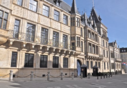
Palais Grand-Ducal
Le Palais Grand-Ducal est situé au coeur de la vieille ville. Les magnifiques intérieurs peuvent être visités de mi-juillet à la fin août.
Informations supplémentaires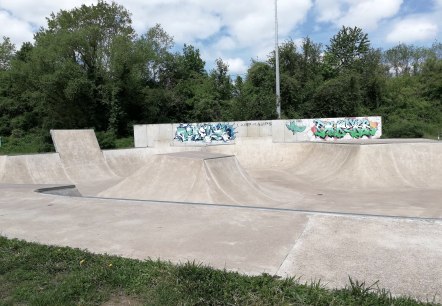
Parc d'amusement
Mertert
Le Funparc dispose d'un certain nombre de jeux tels qu'un champ de basketball (374 m2), un champ de football (350 m2), une table de tennis, skateparc et beaucoup plus.
. Informations supplémentaires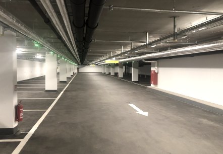
Parking Couvert Wasserbillig
Wasserbillig
Le 1er août 2023, le parking souterrain au centre « Nei Mëtt » a ouvert ses portes avec 60 places publiques.
Informations supplémentaires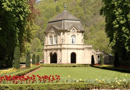
Pavillon Rococo
Le pavillon Rococo, autrefois un jardin d'agrément des moines, est situé dans le parc de la ville et a été construit en 1765 selon les plans de Paul Mungenast.
Informations supplémentaires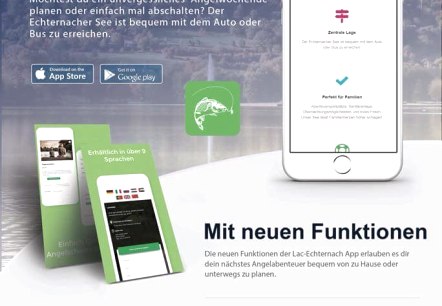
Pêche au lac d'Echternach
Echternach
Le lac d'Echternach est richement peuplé et constitue un haut niveau d'eau pour les pêcheurs.
Informations supplémentaires
