Filtres actifs
- Classer par "Meilleurs résultats"
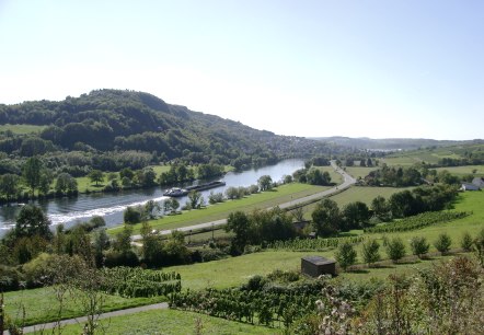
Moselsteig Etape 4
Itinéraire: 21,1 km
Route: Konz à Treves
Difficulté: moyen
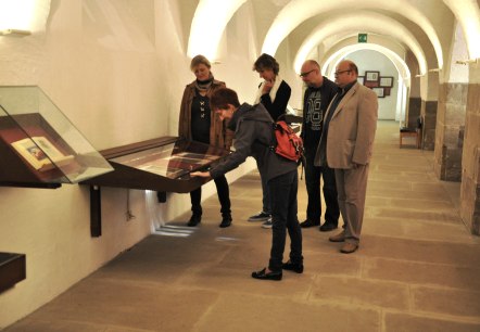
Musée de l’abbaye
L’ancienne abbaye Saint-Willibrord a été supprimée du temps de la Révolution française. Les bâtiments actuels, occupés par le Lycée classique et technique d’Echternach, ne se visitent pas. Le Musée de l’Abbaye, installé dans les caves voûtées de l’ancienne abbaye, est consacré en majeure partie à l’évocation de son scriptorium…
Informations supplémentaires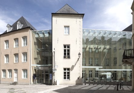
Musée de la villa
Le musée, situé au cœur de la vieille ville, est installé dans un ensemble restauré de maisons historiques. Sur quatre niveaux, en partie creusés dans la roche, le visiteur découvre l’histoire de la ville à travers des objets originaux ainsi que des reconstitutions topographiques animées par des dispositifs multimédia…
Informations supplémentaires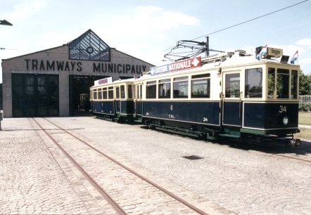
Musée des Tramways et de Bus de ville de Luxembourg
Luxemburg
Le Musée du Tram de la ville de Luxembourg vous invite à un voyage fascinant à travers le passé, le présent et l'avenir des transports en commun au Luxembourg. Des wagons et des autocars parfaitement restaurés, de nombreux modèles à l'échelle 1:8 et une riche exposition vous accompagnent dans ce parcours à travers l'évidence de la mobilité…
Informations supplémentaires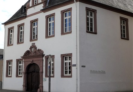
Musée Dom
Trier
Le musée moderne, inondé de lumière, présente entre autres des œuvres d'art chrétien et des coutumes religieuses.
Informations supplémentaires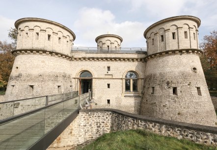
Musée Dräi Eechelen : forteresse, histoire, identités
Bâtiment historique d’exception, le réduit restauré du fort Thüngen, construit en 1732-33, abrite depuis 2012 le Musée Dräi Eechelen - forteresse, histoire, identités.
Informations supplémentaires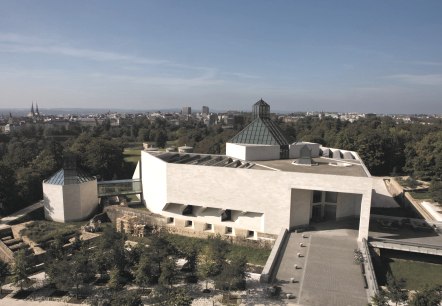
Musée Mudam
Acteur majeur de la scène culturelle luxembourgeoise, institution internationalement reconnue, le Mudam, qui a fêté son 10e anniversaire en juillet 2016, attire un public de plus en plus large. Attentif à la diversité de la création contemporaine, le musée cultive cette curiosité et cette ouverture en développant un programme prospectif et pluriel, tant par l’originalité de ses expositions que par les diverses collaborations qu’il initie…
Informations supplémentaires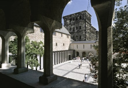
Musée municipal Simeonstift
Trier
Le musée municipal Simeonstift se situe directement à côté de la Porta Nigra.
Informations supplémentaires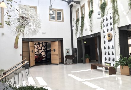
Musée national d´histoire naturelle
On se rend au ‘natur musée’ parce que l’on s’intéresse particulièrement à l’histoire naturelle et aux sciences ou parce que les thèmes présentés dans les expositions permanentes et temporaires du musée sont exceptionnels, toujours instructifs, parfois étonnants voire même insolites et méritent tout simplement l’indication « A ne pas rater »…
Informations supplémentaires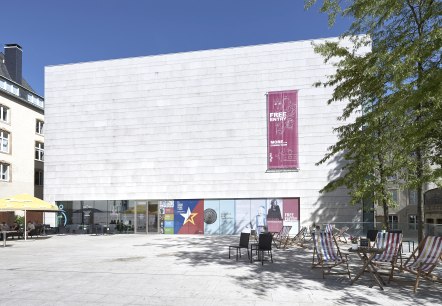
Musée national d’histoire et d’art
Dans son nouveau bâtiment central, inauguré en 2002, ainsi que dans trois maisons anciennes entièrement rénovées en 2014, le Musée national d’histoire et d’art présente sur plus de 6. 000 m2 ses collections nationales archéologiques, historiques et artistiques…
Informations supplémentaires
