Active filter
- Sort by "Best results"
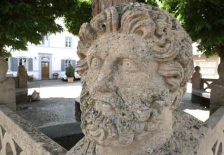
Castle & hermen complex
Welschbillig
Already in the middle of the second century, the Romans had a villa in Welschbillig. In the second half of the fourth century, they constructed an even larger one, which in U-shape was connected west of a 60-by-20-meter pond, surrounded by 112 herds…
More information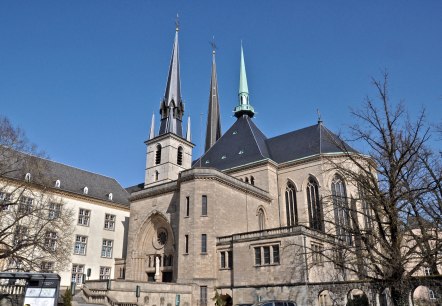
Cathedral of the Blessed Virgin in Luxembourg City
The church is a remarkable instance of late Gothic style, revealing various components and ornaments inspired by Renaissance style.
More information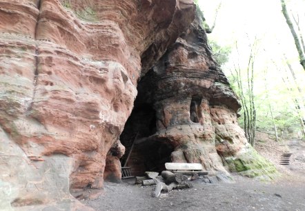
Cave Klausen
Kordel
Visit the Klausenhöhle ( cave) on the Premium hiking trail ``Römerpfad`` and let the past come back to life. According to legends, a hermit lived in the cave in the 18th century.
More information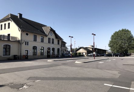
CFL Bus and Trainstation Wasserbillig
Wasserbillig
The CFL offers bus and train connections from the station of Wasserbillig.
For timetables, please visit www. mobiliteit. lu or call 00352-24652465
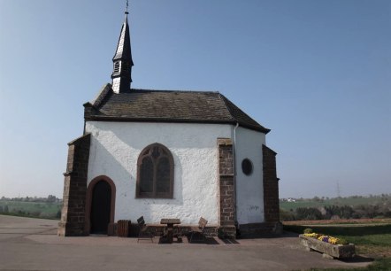
Chapel Zemmer-Schleidweiler
Zemmer
The Neo-Gothic cross chapel in the district of Schleidweiler was built in 1894. A crossroads with 14 stations of individually designed sandstone arrows leads to the Kreuzkapelle, which is perched above Schleidweiler. Starting in the core area Schleidweiler accompanies the visitor 14 Kreuzwegstationen to the Kreuzkapelle…
More information

City Museum Luxembourg
The Lëtzebuerg City Museum is set in the old part of the city, embedded in an ensemble of historical buildings. On four storeys, partly dug into the rock, the visitor can discover the history of the city through original exhibits and topographical models, supplemented by a multimedia system…
More information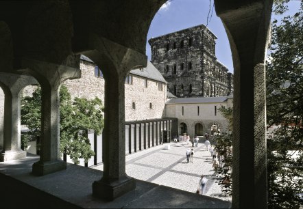
City Museum Simeonstift
Trier
Adjoining the Porta Nigra is the 11th century Simeon's College, residence of priests who read mass in the two churches of St. Simeon.
More information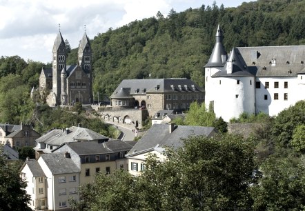
Clervaux Castle
The majestic castle is perched on the slopes of a rocky promontory, the so-called "Lay". The origins of the castle are lost in the mists of time.
More information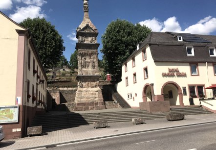
Column of Igel near Trier (UNESCO World Heritage Site)
Igel
UNESCO World Heritage Site Igeler Säule. The column was built in the first half of the 3rd century AD by a wealthy cloth merchant family. In November 1986, the 23 m high column was declared a World Cultural Heritage.
. More information
