Active filter
- Sort by "Best results"
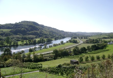
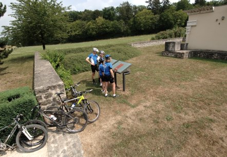
Mountain Bike Trail Grevenmacher
Lenght: 15 km
Route: Potaschberg Hotel Simons Plaza to Potaschberg Hotel Simons Plaza
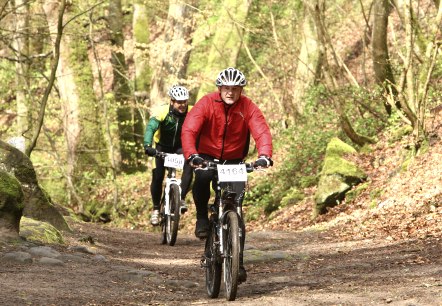
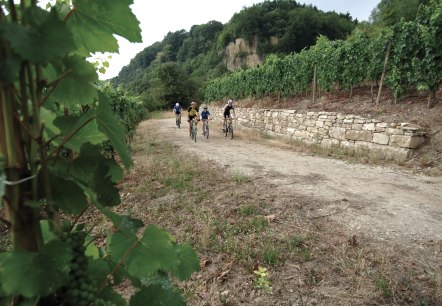
Mountainbike route Greiveldange
Lenght: 22 km
Route: Neie Wee Greiveldange to Neie Wee Greiveldange
Difficulty: medium
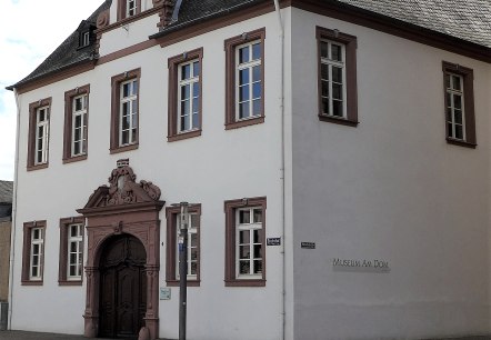
Museum Dom
Trier
The modern, light-flooded museum displays, among other things, works of Christian art and religious customs.
More information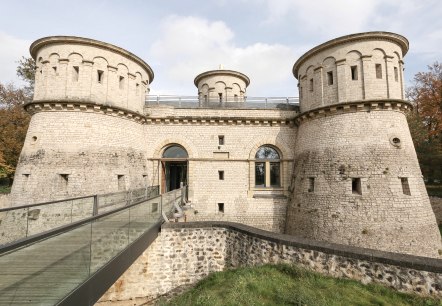
Museum Dräi Eechelen: fortress, history, identity
The Musée Dräi Eechelen – fortress, history, identity, inaugurated in 2012, is situated in the extraordinary restored keep of the historic fort Thüngen, built in 1732-33.
More information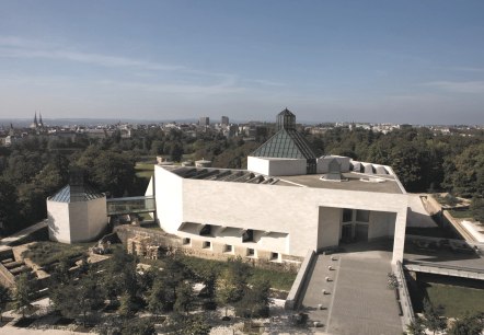
Museum Mudam
As a major actor in Luxembourg’s cultural scene, and as an internationally recognised institution, Mudam, which celebrated its 10th anniversary in July 2016, is attracting an increasingly wider audience. Aware of the diversity ofcontemporary creation, the museum cultivates the curiosity and openness by developing a forward-looking and pluralistic programme, both through the originality of its exhibitions and the various collaborations it initiates…
More information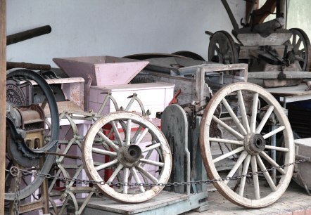
Museum Zemmer
Zemmer
The local museum in the center of Zemmer contains interesting objects such as basic commodity and curiosities of different eras. All objects were compiled in painstaking work by the local association Fidei. It offers an insight into 'the good old times'…
More information
National Monument of the Solidarity
Luxemburg
Rising on the so-called Cannon Hill, it commemorates the dead of the Second World War and recalls the resistance and the solidarity of the Luxembourg nation in the face of the Nazi occupation.
More information
