Active filter
- Sort by "Best results"
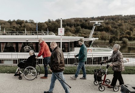
Comfort Hiking Trail
Grevenmacher
Welcome to the comfort hiking trail Grevenmacher. Enjoy a comfortable walk along the Moselle promenade and discover the charming corners of the old fortified town.
More information
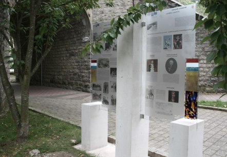
Culture path Wasserbillig
Lenght: 9.9 km
Route: City Hall Wasserbillig to City Hall Wasserbillig
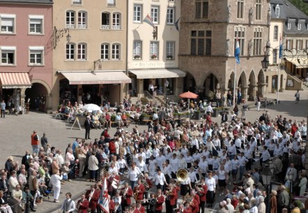
Dancing procession
The dancing procession still appeals to modern man, as it enables him to include his whole body in his prayer. Jumping and dancing are an expression of joy, but they can become real penance through the effort required. It evokes the feeling of advancing towards the eternal goal in the community of the people of God…
More information
De Bääker
Trierweiler
We are a wood-fired bakery that still works with traditional sourdough and long resting times for the dough. We source our flours and raw materials from farmers and artisan businesses in the region.
In addition to handmade breads, you will also find regional products from small farms, such as cheese, sausage, honey and Viez…
More information

Deutsche Bahn
Trier
The « Deutsche Bahn » is the German company for railway roads and train routes. In the year 2016 they transported approximately 4,4 billion people. The traffic is divided into 3 different sectors: DB Fremdenverkehr, DB Regio and DB Arriva.
More information
