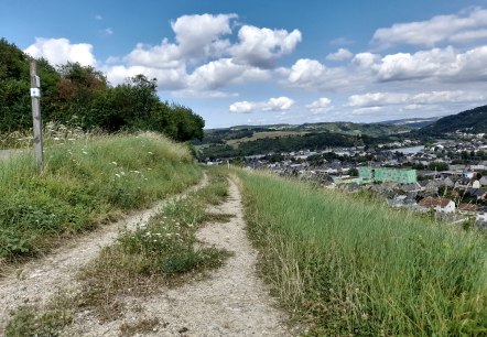
Hiking Trail Wasserbillig (Autopédestre)
Lenght: 7.9 km
Route: Train Station Wasserbillig to Train Station Wasserbillig
Difficulty: medium
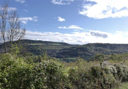
Hiking trail Wasserbillig F
Lenght: 8.7 km
Route: Op der Spatz at Wasserbillig ( Esplanade de la Moselle) to Op der Spatz at Wasserbillig ( Esplanade de la Moselle)
Difficulty: medium
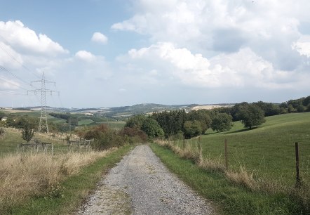
Hiking trail Wasserbillig E
Lenght: 10.7 km
Route: Esplanade de la Moselle ( Spatz) to Esplanade de la Moselle ( Spatz)
Difficulty: medium
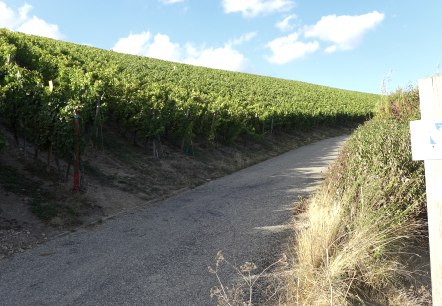
Wine information path
Lenght: 4.3 km
Route: Church of Mertert or town hall Wasserbillig to Church of Mertert or town hall Wasserbillig
Difficulty: easy
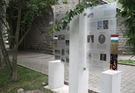
Culture path Wasserbillig
Lenght: 9.9 km
Route: City Hall Wasserbillig to City Hall Wasserbillig
Difficulty: medium
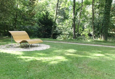
Culture path Mertert
Lenght: 9.5 km
Route: Church of Mertert to Church of Mertert
Difficulty: medium
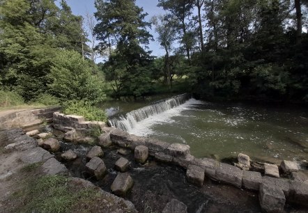
Hiking trail Mertert 1
Lenght: 9.7 km
Route: Park and Ride Mertert to Park and Ride Mertert
Difficulty: medium
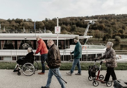
Comfort Hiking Trail
Grevenmacher
Welcome to the comfort hiking trail Grevenmacher. Enjoy a comfortable walk along the Moselle promenade and discover the charming corners of the old fortified town.
More information
Hike Grevenmacher (autopédestre)
Lenght: 8 km
Route: Parking at the dock ( near Tourist Info) to Parking at the dock ( near Tourist Info)
Difficulty: medium
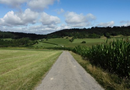
Hiking trail Rosport 1
Lenght: 9.9 km
Route: Tudor Castle Rosport to Tudor Castle Rosport
Difficulty: easy

