Hiking trail Wasserbillig F

Langsur

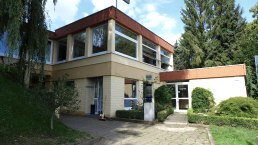
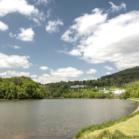
Past the lowest point of the country ( called Spatz), you walk underneath the railway bridge, arriving in Germany at our colourfull tourist information. You continue this hike along the Mosel river until you reach the main road and hike upwards across the vineyards to reach the lovely viewpoint ``op Kloop``.

You carry on hiking downhill to Mesenich, along the river Sauer to Langsur and across the border bridge back to the starting point.  


mehr lesen gpx: Wanderweg Wasserbillig Fpdf: Wanderweg-Wasserbillig-F

Share content:

Ergebnisse filtern:

Along the route

Fishing in border waters Mosel, Sauer, Our

Angler 2, © Cilly Hirtt

For fishing in the German and Luxembourg border waters of the Moselle, Sauer and Our you need a valid fishing permit from the age of 14.

Details ansehen

Aquarium Wasserbillig

Aqurarium, © Deutsch Luxemburgische Tourist Info
Discover the wonderful underwater world of the rivers and oceans. The natural habitats of freshwater and saltwater fish of the five continents can be admired in two 40,000-liter tanks and several medium-sized aquariums in Wasserbillig. Details ansehen

Ferry from Wasserbillig to Oberbillig

Fähre 4, © Deutsch Luxemburgische Tourist Information

Ferry between Wasserbillig ( Luxembourg) and Oberbillig ( Germany)

Please call 0049 - (0) 172 -3 15 61 26 for further information.

More information https://www.facebook.com/FaehreSanktaMariaII

Details ansehen

Fisherman

Fescher, © Deutsch-Luxemburgische Tourist-Information

The sculpture "De Fescher" is located near the water mouth of Mosel and Sauer.
It is near the ferry and the "Spatz" (lowest part of Luxembourg).
The fisherman is part of the local cultural trail.

Details ansehen

Restaurant La Grande Chine

Restaurant, © La Grande Chine

The asian restaurant "La Grande Chine" offers a large variety of asian dishes. The restaurant offers you a choice of traditional chinese and japanese menus.

http://www.restaurantlagrandechine.lu/


Details ansehen
Open map

Bitte akzeptieren Sie den Einsatz aller Cookies, um den Inhalt dieser Seite sehen zu können.

Alle Cookies Freigeben

More information about this route

Start:

Op der Spatz at Wasserbillig ( Esplanade de la Moselle)

Destination:

Op der Spatz at Wasserbillig ( Esplanade de la Moselle)

Distance: 8.7 km

Duration: 2:30 h

Difficulty: medium

Ascent: 172 m

Descent: 172 m

Deutsch-Luxemburgische Tourist Information

Moselstrasse 1
54308 Langsur
Phone: (0049) 06501602666

write e-mail

Plan your journey

per Google Maps